
Taylors Neighbors: Block Record Sources
For an immediate block question, Greenville County’s parcel map is the starting point. Taylors is an unincorporated Census-designated place, so its address, deed, and map trail is county-facing. The map shows physical parcel context. A Property Report adds county ownership and deed-reference fields for a selected parcel. The Register of Deeds can supply recorded instruments and plats. These sources answer different questions and should stay separate from one another.
| Block source | What it can show around an address | Access and limit |
|---|---|---|
| Greenville County Maps | Parcel outlines, streets, subdivisions, and selected-property context | Free map viewer; preserve the search date. |
| GIS Property Report | Owner of record, mailing field, parcel Location, deed and plat references | Free web report; no field proves current household membership. |
| Register of Deeds | Recorded transfers, legal boundaries, lots, blocks, and plats | Title evidence, not a resident roster. |
| Election geography layer | Precinct and polling-site context | Geography only, not a voter-address browser. |
| Code Compliance FOIA | Existing permit, inspection, occupancy, or violation papers for one property | Address-specific written request; actual costs may apply. |
An owner field may point to a person, trust, or other recorded owner. Its mailing address can be a PO box, agent, business address, or a different property. Treat the report as a property record and read its Location label separately. A parcel line is a physical relationship, not proof that people are acquainted or that a particular person is present.
Map Taylors Neighbor Parcels
Greenville County Maps supports Find Address, Find Street Intersection, Tax Parcel Search, Advanced Search, and Sales Search. For one focused question, find the subject address or PIN, keep Tax Parcels visible, and select only the parcel outlines that physically border it. Then open individual Property Reports. This avoids treating the order of labels along a road as the same thing as physical adjacency, which can be misleading near rear lots, cul-de-sacs, or multi-unit parcels.
The Greenville County Maps application illustrates the parcel-map starting point for a Taylors neighbor lookup.
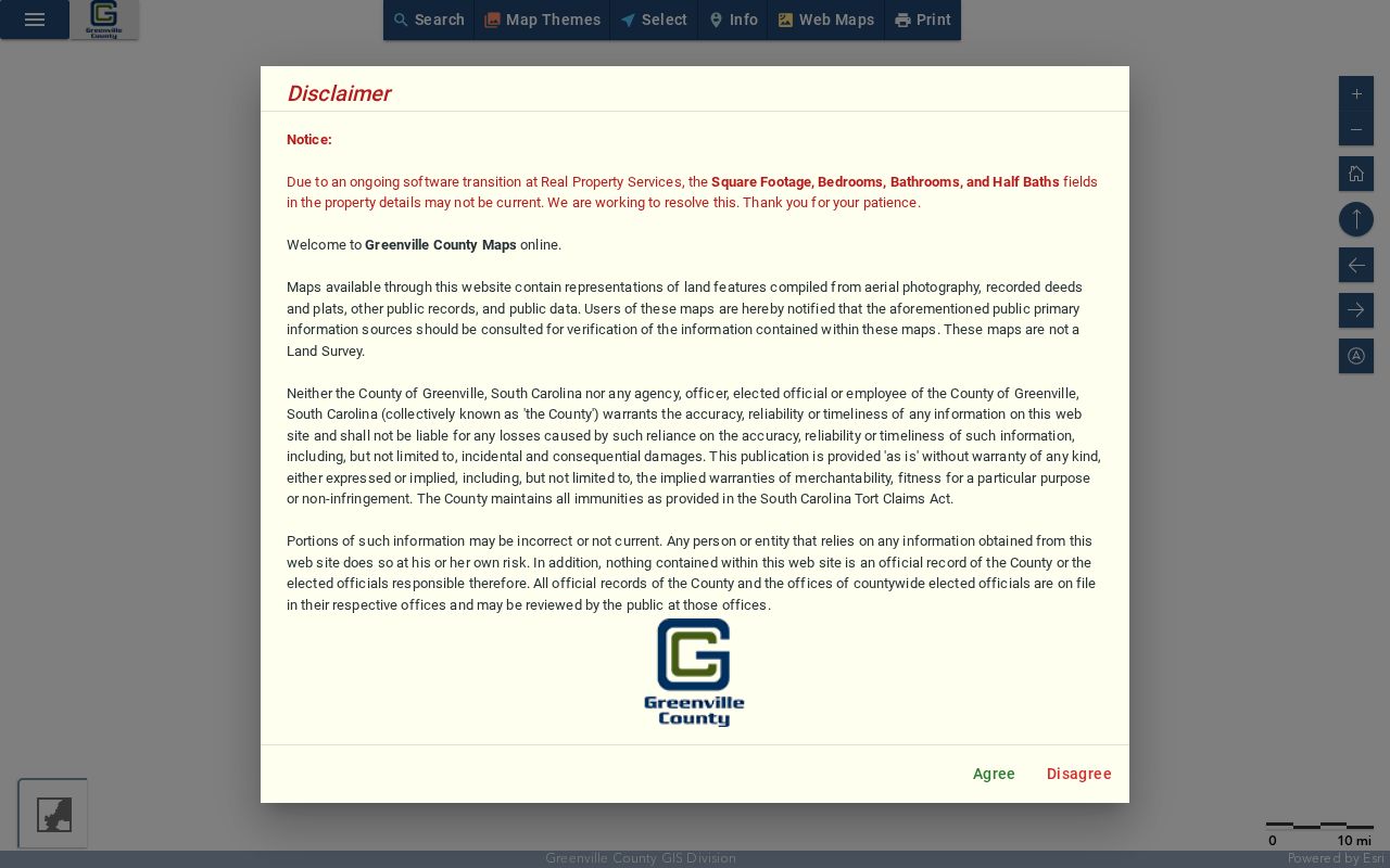
The selected parcel’s report separates Owner Name, Care Of, and Mailing Address from the parcel’s Location. It can also display the PIN, acres, subdivision, deed book and page, plat book and page, values, tax history, and ownership history. The County says map and parcel data are believed accurate but are not a title search, survey, appraisal, or zoning verification. If the question becomes a full named-street trail rather than the immediate block, use the Taylors streets directory route.
- Find the address or tax parcel, and record the selected parcel’s PIN and Location.
- Keep the Tax Parcels layer active and choose only touching outlines or a carefully limited nearby area.
- Open each needed Property Report one at a time, retaining the owner field, mailing field, parcel location, and deed or plat citation separately.
- Use the cited deed or plat only when a legal boundary or earlier transfer needs confirmation from the Register of Deeds.
Taylors Neighbor Lookup Buffer Tools
The current map’s Select on Map tools can work by point, line, polygon, buffer distance around a point, line, or shape, distance from selected features, or all selectable features in the current view. A narrow polygon can be more accurate than a broad circle on a curved subdivision street. Review the result against parcel edges and imagery before opening reports. The GIS Community Info tool can add neutral context such as zoning, municipal limits, flood zones, voter information, schools, and places of interest without turning the map into a people list.
Greenville County launched its updated Maps application in February 2026 and lists 2026 as the default imagery year. Parcel, ownership, legal-reference, subdivision, and street-centerline data are updated daily, while imagery has its own acquisition date. Current map data is useful, but it is not a final legal determination. For a survey or title issue, use the responsible professional or county office.
The County says its Advanced Internet Mapping System remains available during the transition, so note which map interface produced a result. The newer application is better for a current block view, while an archived GIS Property Card can preserve a sheet number, block number, listed description, and ownership notation for transactions before 2003. That older card is a historical bridge for a particular parcel, not evidence of a present household. Pair it with the current parcel report and cited recorded instrument when the date matters.
Note: A short buffer is a map-selection tool, not a definition of a social neighborhood or a claim about everyone nearby.
Official Parcel Reports and Private Neighbor Tools
A county report has a defined custodian, parcel, record date, and stated limitations. A compiled commercial neighbor tool may combine old or mismatched material without showing which original record supports it. For a Taylors block question, the official map and Property Report are better starting points because each fact can be checked against a named county source. The Register of Deeds is the next route for an instrument or plat, while the county report itself is not a title opinion.
| Official county record | Compiled neighbor category | Responsible way to use it |
|---|---|---|
| Maps and Property Report show the chosen parcel, its Location, and county owner field. | May combine records from different dates and people with similar names. | Verify a material fact with the original county custodian. |
| ROD deed and plat records show a recorded land instrument and legal reference. | May imply a household connection from an address field. | Do not substitute an address field for proof of who is present. |
| Election tools show precinct or polling-place context. | May make broad contact claims that official election tools do not provide. | Respect the state’s individual-verification and data-access limits. |
For a record that needs to be relied on, retain the exact report date, PIN, and source URL. A map snapshot can change as ownership and legal-reference data update. The custodian, not a compiled listing, is the right place to verify a correction or ask about a public copy.
Taylors Neighbor Community Contacts
Community organizations add local context, but the public pages reviewed here do not publish household directories. Their contact channels, governing documents, newsletters, and public notices have a narrower purpose. Respect any authentication boundary. A request to an association should concern the association’s own published business, not an effort to obtain a member list.
| Community source | Publicly described contact layer |
|---|---|
| Taylors TownSquare | Volunteer-led community organization with contact form, newsletter, P.O. Box 163, Taylors SC 29687, and 864-501-3918. |
| Peppertree HOA | Public association contact information and a separate login-based portal. |
| Linkside III HOA | Pebble Creek-area community and contact page with a Taylors P.O. box. |
| Oak Glen HOA | Public covenants and board contact form, with resident access behind login. |
Taylors TownSquare’s public connect page is a community contact source for a Taylors neighbor search.
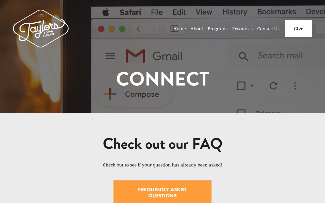
TownSquare is a community-development nonprofit and a practical general contact layer for unincorporated Taylors. It does not advertise a household roster.
Peppertree HOA’s public page shows the contact and login boundary for a Taylors block search.
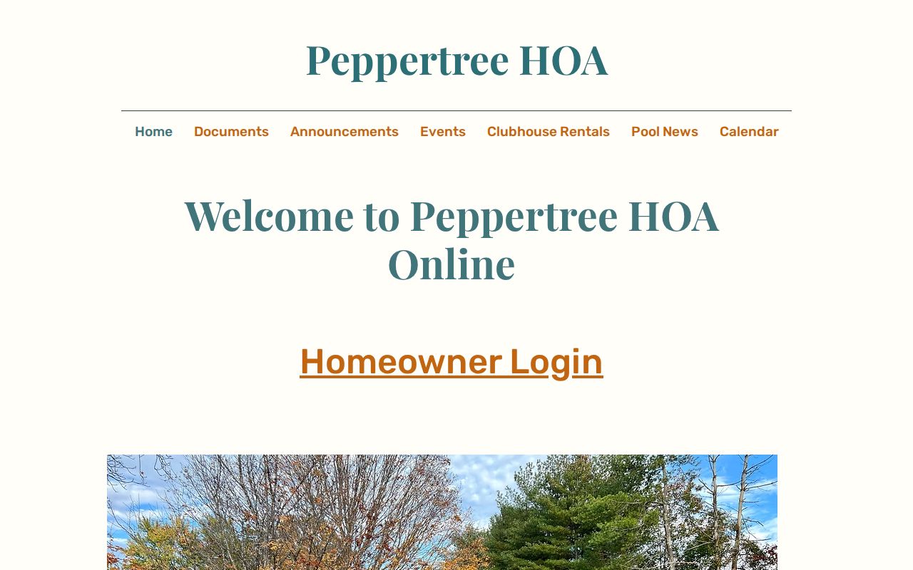
The visible Peppertree material provides association contact information. Its resident portal is authentication-gated and is not public block data.
Linkside III HOA’s public community page provides a documented Taylors community-contact example.
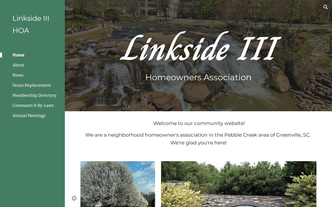
Linkside III identifies a Pebble Creek-area association and its Taylors P.O. box. That is locality context, not a member directory.
Oak Glen HOA’s public page shows its covenants, contact route, and separate resident-login boundary for a Taylors block search.
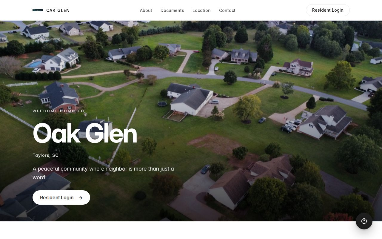
Oak Glen’s public material can answer an association-document question. A login screen is a privacy boundary, not a route around one.
Taylors Neighbor Voting Geography
Greenville County Maps can show polling sites and election geography, which can help place an address in a precinct or district context. It does not provide a per-address voter browser. MySCVotes requires County, First Name, Last Name, Date of Birth, last four Social Security digits, and a CAPTCHA for a voter to check personal information. That design sets the boundary for individual verification.
The state’s voter-list product has its own eligibility, ordering, and use rules. Registration applications are permanent county records, but Social Security numbers are not open to inspection under S.C. Code Ann. § 7-5-170. For a paper record or district question, the Greenville County Board of Voter Registration & Elections is the documented phone, email, and in-person channel. Do not turn precinct information into a list of people on a block.
Privacy Limits for a Taylors Neighbor Lookup
Parcel and deed records do not disclose every current resident, and private systems for utilities, deliveries, and association portals are not public substitutes. A property mailing address may be a correspondence route rather than the property location. South Carolina’s Address Confidentiality Program provides eligible participants a substitute mailing address that state, county, city agencies, and courts must accept. Do not try to reverse a protected address or use a map to target a private household.
Lawful use. Keep a Taylors neighbor lookup focused on a legitimate personal, community, property, or safety question. Do not use public-record details to stalk, harass, intimidate, or harm anyone.
Correcting Taylors Neighbor Records
When a county web record appears wrong, preserve the exact page, PIN or case number, and the date viewed. Then contact the custodian that keeps the underlying record. Greenville County Real Property Services handles assessment and ownership-description data; the Register of Deeds holds recorded instruments; the Clerk controls court files; and Elections handles election records. A request to correct one source does not alter every other official record.
For specified exposed identifiers in a Clerk or ROD internet image, S.C. Code Ann. § 30-2-330 provides a written redaction-request route with no fee. It does not remove ordinary public record information or override sealed and protected-record rules. For an address-specific permit, inspection, occupancy, or code paper, use Greenville County’s Code Compliance FOIA form and request the existing document by property address.
Note: A correction request should identify the custodian’s record precisely and should never be used to seek private data that the source does not release.