
Search Taylors Streets Through Parcels
Taylors is an unincorporated Greenville County community, so an address trail begins with county systems rather than a city assessor. The street directory works best as a parcel workflow. A street result can identify assessed parcels and owners of record. It does not establish that an owner lives at the property, and it does not create a household roster. Start with an exact address when possible. If only a road name is known, preserve each map number returned before moving to a different record system.
- Open Greenville County Real Property Search, choose a tax year, and use the street field alone. The form accepts one text criterion at a time, so do not combine a name, street, and map number.
- Save the map number, owner name, location, and any parcel details for a result that matches the Taylors street segment. The map number is the most useful handoff between county tools.
- Use Greenville County Maps to confirm the parcel outline, road position, and subdivision. Open the Property Report for the selected parcel and compare its Location with its mailing information.
- Carry the deed book, page, legal description, or plat reference into ROD Search Records. Those references, rather than a street name alone, move a land record backward.
- For a dated household question, pair the parcel trail with the historical volumes described in the Taylors city directory collections. Match an address and date before drawing any conclusion about a past household.
That sequence keeps the street directory focused on what each record can actually support. A parcel can lead to a title record. A title record can lead to earlier land references. Neither should be treated as a statement about every current person at the address.
Greenville County's documented street-results example shows the parcel-oriented result layout used for Taylors street directory work.
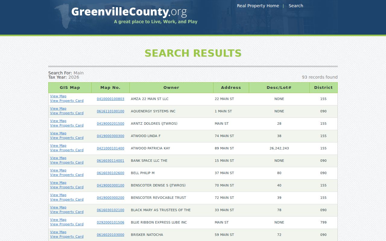
The result set presents map number, owner, and location routes, which is why each entry needs a parcel check before it is used as an address lead.
Taylors Street Directory Property Fields
Real Property Search is the county's practical street-directory entry point. Its current selector offers tax years from 1995 through 2027, plus listed legacy values and ALL. Select a roll deliberately, then use one criterion. The county's street example is a road name, not a full postal address. A response can be paginated, so retain the map number and check the Location before assuming that a similar road name belongs to the intended part of Taylors.
| Real Property field | Use in a Taylors street directory search | Format or limit |
|---|---|---|
| Select Tax Year | Choose the assessment roll to inspect | 1995 through 2027, listed legacy values, or ALL |
| Or: Enter Street | Build a candidate parcel set for one road | Text, maximum 32 characters |
| Enter Name | Recheck a known owner after locating a parcel | Text, maximum 29 characters; county example is surname first |
| Or: Enter Map No. | Return to one specific parcel | Text, maximum 20 characters |
| Subdivision or Sales Sheet No. | Use an alternate parcel route when supported by the record | Maximum 32 or 6 characters |
The portal also offers a separate voided-card map-number search. Building details can be stale during the county's software transition, so property facts should be checked against the date and source shown on the record. A record owner and the owner mailing address remain property-record fields, not proof of current occupancy.
Map Taylors Street Directory Results
County Maps adds the physical check that a text result lacks. Find Address, Find Street Intersection, and Tax Parcel Search can center the map on a Taylors location. Parcel outlines, road centerlines, subdivisions, municipal-boundary context, imagery, and tax layers then help separate a corner parcel from a nearby result with a similar address. County documentation says parcel, ownership, legal-reference, and road-centerline data update daily. The map is useful current context, but the County does not treat it as a title, survey, appraisal, or zoning determination.
Greenville County Maps documents the address, parcel, imagery, report, and export tools available for a Taylors street directory review.
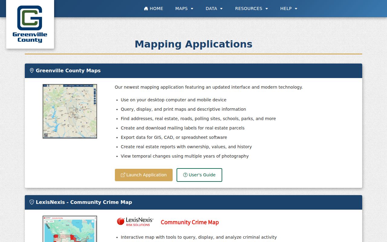
The map feature summary is a reminder to select the intended parcel, then open a report for that parcel instead of treating a map label as a complete record.
For an old or uncertain address, the map's historical imagery and the County Historical Maps Search can help test a description against roads and parcel geometry. The relevant controls include sheet number and year. They are place tools, not a source of household names. Preserve the current PIN, legal description, plat book/page, and any older address form together.
Taylors Street Directory Location Clues
A GIS Property Report separates Owner Information from Parcel Information. Owner name, additional owner, care-of, and mailing street, city, state, and ZIP appear in the first group. Acres, description, Location, and subdivision appear in the second. The same report can include deed and plat references, tax history, values, and ownership-history rows. That split is especially important in Taylors because a correspondence address can be a post-office box, an agent, a business, or another residence.
- Parcel
- A defined tract in the county tax and map system, normally tied to a map number or PIN.
- Situs address
- The physical Location associated with the parcel. Greenville County E-911 assigns the property address.
- Plat
- A recorded map that can connect a lot, block, or subdivision to a legal description.
- Criss-cross directory
- An older reverse directory arranged by address, useful only when its date and coverage match the question.
Use the Location as the address checkpoint, then compare its legal reference to the deed and plat. The owner mailing field is a correspondence clue only. This distinction prevents a street-directory search from turning a property record into an unsupported statement about who lives there.
Trace Taylors Street Directory Deeds
The Greenville County Register of Deeds provides the long land-record bridge behind a Taylors street directory search. Grantor and grantee indexes and deed images reach 1787, while the website separates its interfaces around 1985. The later route includes deeds added for 1940 through 1984, and the older area retains index books, deeds, land grants, and some mortgages. A 1985 interface break is not a break in the underlying land trail.
Begin from the parcel report's book/page, legal description, and current named owner. Read the deed to identify the grantor and grantee, recording date, legal description, and any plat. Then search the seller as an earlier grantee and repeat with the prior book/page or legal description. For older material, the documented ROD modes are All Names, Instrument Number, Book-Page, and Legal Description Search. The ROD advises book-type searching for pre-1990 documents because subcategories can be unreliable.
This is a useful Taylors comparison: the newer map application helps with a current parcel, while older ROD index books and archived property cards preserve the historical bridge. Use both when an address changes shape over time. Deed copies are available online, at the counter, by phone, or by mail through the ROD copies and certification route; fees and certification options vary by channel.
Taylors Street Names Leave Records
An unfamiliar suffix, direction, or private-drive marker can derail an otherwise sound Taylors street directory search. Greenville County E-911 assigns property addresses, participates with Planning and Public Works in street-name approval, and identifies a PD street sign as a private drive. Check the exact address before treating an old map, deed, or assessor result as a match. The E-911 office can be reached through its property-address information page at 864-467-5914 or 911address@greenvillecounty.org.
Greenville County's road-name-change procedure is the right starting source when a Taylors road seems to have a different historical name.
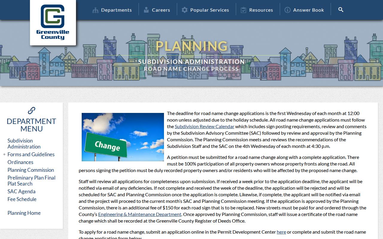
The process requires frontage-owner participation, Planning review, and a certificate recorded at the ROD. It offers a recorded paper trail for an individual change, but no verified source establishes a Taylors-wide renumbering or road-name event.
Note: Preserve the old wording, PIN, legal description, and recorded reference while E-911, Planning, and ROD sources are compared.
Taylors Street Directory Change Papers
Building and code files can add a date to a physical change at a Taylors address. Greenville County Building Safety moved permits to eTrakit, but the inspected public information does not establish an open person or address search there. The office reports that account access is required for online permit details. A completed project paper can describe a permit, inspection, certificate of occupancy, or code matter. It should not be treated as a list of people connected with the address.
Greenville County Building Safety's permits page records the transition to its online permit system.
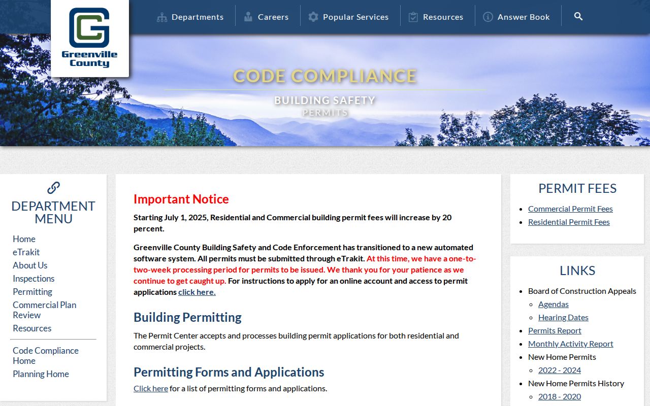
The page supports a permit-process check, while a specific historic paper may require the office's documented alternate channel.
For existing address-specific records, the Code Compliance FOIA form accepts a property address and requests for certificates of occupancy, permits, inspections, or code-violation papers. Send it to codesfoia@greenvillecounty.org or the Building Safety office at County Square. The form requests existing records, not a newly created list, and actual search and copy charges apply.
Greenville County Code Enforcement's public page is the source captured for this Taylors address-records example.
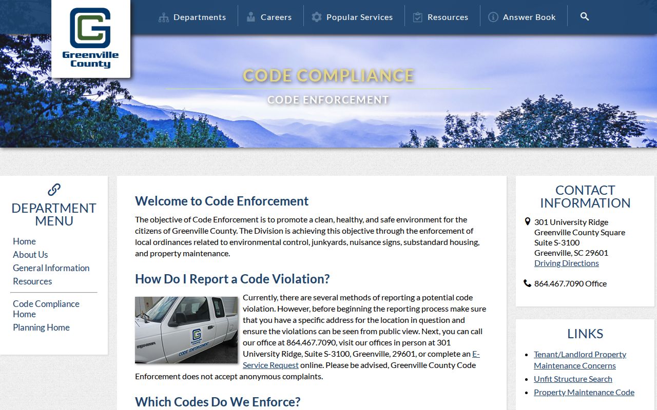
Use a named property and a documented request channel for existing papers rather than expecting an open street-wide code file.
Taylors Street Directory Record Layers
Address-keyed sources answer different questions. Real Property and GIS help establish the parcel and owner of record. Deeds and plats document land transactions and legal boundaries. Building files can date work. Election records have their own access rules. Keeping those roles distinct makes a Taylors street directory result more reliable and avoids treating one field as a complete account of a home.
| Address record | County keeper or route | Useful Taylors street clue | Access boundary |
|---|---|---|---|
| Real Property roll | Real Property Search | Assessed owner, map number, street route, and mailing field | Tax-year choices begin at 1995 on the current form |
| GIS Property Report | County Maps | Parcel outline, Location, deed/plat references, and history | Map data is not title or survey proof |
| Deed and plat index | Register of Deeds | Parties, book/page, legal description, and instrument trail | Indexes and deeds reach 1787; search interfaces differ by era |
| Building or code paper | Building Safety or Code Compliance | Existing permit, inspection, occupancy, or violation material | eTrakit access is account-oriented; written request route exists |
| Election record | State Election Commission and County Board | Individual voter confirmation or authorized data process | My SC Votes is credentialed and is not a street browser |
For an individual voter checking personal registration, the state verification screen requires county, first and last name, date of birth, last four Social Security digits, and a CAPTCHA. The state list-sale process has its own purchaser eligibility, field, fee, and use rules. Neither route supports a public block-by-block name lookup.
Taylors Street Directory Limits
A Taylors street directory can lead to public parcel and land records, but it cannot settle who is currently inside every home. Assessment rolls identify an owner of record. Deeds identify parties to an instrument. The GIS report distinguishes mailing information from the physical Location. The voter self-service tool is designed for a person with verified credentials, not for browsing a road. Motor-vehicle addresses, utility accounts, delivery records, and private association portals are not public substitutes for a street roll.
Lawful use. Use Taylors address records for a personal, lawful purpose, such as family history, estate research, civic context, or checking a property record. Do not use an address trail to stalk, harass, intimidate, or harm anyone.
When a record is missing, check the custodian and the record's access design before assuming an error. Greenville County offices, the ROD counter and copy route, a written Code Compliance request, the South Carolina Room, and SCDAH archival material are documented fallbacks for different kinds of records. No single Taylors street directory result replaces those source-specific checks.