
Taylors Previous Residents by Record Era
For a Taylors address, Greenville County keeps the core parcel and deed trail because Taylors is unincorporated. Start with the current parcel, preserve its map number and legal description, then select a source by the period at issue. Previous residents and past owners are not the same thing. A deed records the parties to a transfer, while a directory or census can contribute a dated household clue.
| Source | Years it covers | Where held | What it shows |
|---|---|---|---|
| Taylors ROD grantor/grantee indexes | 1787–present | Greenville County ROD | Parties and book/page references for a chain |
| Taylors deed images | 1787–present | ROD and pre-1800 Library ContentDM links | Instrument text and legal description |
| Taylors later document interface | 1985–present; deeds added for 1940–84 | ROD after-1985 search | Faster electronic route for later records |
| Taylors archived property cards | Used for pre-2003 transaction tracking | Greenville County GIS | Listed description, sheet/block, ownership notes |
| Taylors historical maps | Query by available sheet and year | County Historical Maps Search | Map context for a parcel or street label |
| Taylors census and regional directories | Census public through 1950; directory runs vary | National Archives and GCLS | Dated household and address clues |
Use the current Taylors parcel even for an old question. It supplies the map number, location, deed book and page, and legal description that make a Taylors backward search more reliable than a bare street name. The county's systems can identify an owner of record and a mailing address, but neither field proves present or past occupancy.
Taylors Previous Residents Begin With the Parcel
Greenville County Real Property Search is the starting point for a Taylors address. Its current form searches one criterion at a time: tax year, name, street, map number, subdivision, or sales sheet number. A Taylors street result is an assessed-property route, not a complete household list. Open the matching Taylors record and preserve the map number, owner, location, deed and plat book/page, and any prior-owner reference.
Then use the Greenville County Maps application to check the Taylors parcel outline and open a Property Report. The report separates owner mailing information from the parcel Location and includes deed and plat references, ownership history, tax history, acreage, and subdivision. It also says map and parcel data are not a substitute for a title search, appraisal, survey, or zoning verification. That division between correspondence and parcel location is essential when tracing Taylors past residents.
Note: Record the search date because Greenville County maps, parcel references, and ownership information update daily.
Taylors Previous Residents Cross the 1985 Record Bridge
The Greenville deed trail behind a Taylors parcel is much older than its most familiar interface. The Register of Deeds reports grantor, grantee, mortgagee, and mortgagor indexes from 1787 to the present, with deed images from 1787 to the present. Mortgages begin in 1919, and plat images begin in 1903. The post-1985 search is an interface split, not the start of the records. It also contains deeds newly added for 1940–84, while the earlier area includes index books, deeds, land grants, and some mortgages.
For Taylors past residents, use the new and old routes together. The current electronic path is useful for the latest transfer, but older index books, property cards, and maps carry the historical bridge. The ROD warns that document subcategories before 1990 are unreliable. Search by book type rather than treating an empty old subcategory as proof that a Taylors deed is missing.
The legacy ROD viewer is the official older interface used to document the period split.
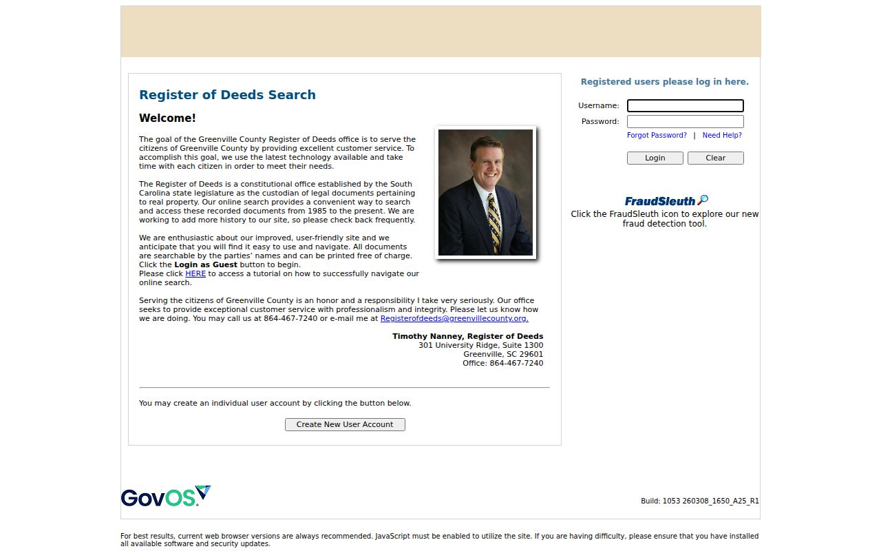
Its historical search route complements the later Taylors search instead of replacing the older chain with an artificial cutoff.
Trace Taylors Previous Residents Through Deed Records
The Taylors deed chain starts from today's parcel reference, then moves backward through the parties named on each instrument. Greenville County's ROD Search Records page is the public entry point. The ROD staff cannot perform a title search or give legal advice, so use the index to find the book and page, then obtain professional title advice when a title determination is needed. For a Taylors house-history question, preserve each cited record and avoid turning a transfer party into an unsupported claim about residents.
- Find the current Taylors parcel in Real Property or GIS and copy the map number, location, legal description, deed book/page, and named owner.
- Use the later ROD search or Cloud Search account route to retrieve the referenced deed image when the record falls in its available range.
- Read the grantor and grantee, recording the book/page, recording date, legal description, and any plat reference.
- Search the seller from that deed as a prior grantee, using the earlier legal description or book/page to confirm the match.
- Repeat backward. For early instruments, move to the grantor/grantee index books and cited deed books rather than stopping at the interface change.
- Grantor and grantee
- The grantor is the party transferring an interest; the grantee is the party receiving it.
- Chain of title
- The sequence of recorded transfers connected by the same parcel or legal description.
- Legal description
- The lot, block, subdivision, metes-and-bounds, or other land description in the record. It can outlast a changed street label.
The ROD Search Records gateway identifies the current official entry point for the county deed trail.

Use the search gateway to locate the appropriate ROD route, then retain the instrument citation with every past-owner finding.
Taylors Previous Residents Need Legal Address Clues
A Taylors postal address can change while the parcel history remains continuous. Plats and legal descriptions connect a street address to a lot, block, subdivision, or metes-and-bounds description. The GIS report supplies deed and plat references; the ROD holds the instruments behind them. Where an older Taylors rural parcel has no reliable address text, the legal description, map number, and book/page are the safer comparison set.
Do not invent a local street-renumbering story. Research did not verify a Taylors-wide renumbering year or a specific renamed Taylors street. For a suspected modern Taylors road-name change, Greenville County Planning requires a petition with full frontage-owner participation, Planning Commission action, and a certificate recorded at the ROD. Taylors E-911, Planning, and the recorded certificate are better checks than guessing from a current map.
Taylors Previous Residents in Archived Property Cards
Greenville County GIS documents archived Property Cards that were used to track Taylors transactions before 2003. A Taylors parcel-specific card can retain a sheet number, block number, listed description, and record-of-ownership notation. That can be especially useful when a modern street search loses the older wording used for the same parcel. It is a bridge, not a complete house history, and a handwritten description should not be assumed to match a current 911 address.
Pair a Taylors card with the related deed book/page, plat, and a dated map. The county historical maps form searches by sheet number and year, so it supplies context for the Taylors parcel rather than a resident index. This layered method can show when a physical change or a label appears, but it cannot establish a household without supporting evidence.
The County Historical Maps Search supplies the sheet-and-year map route.
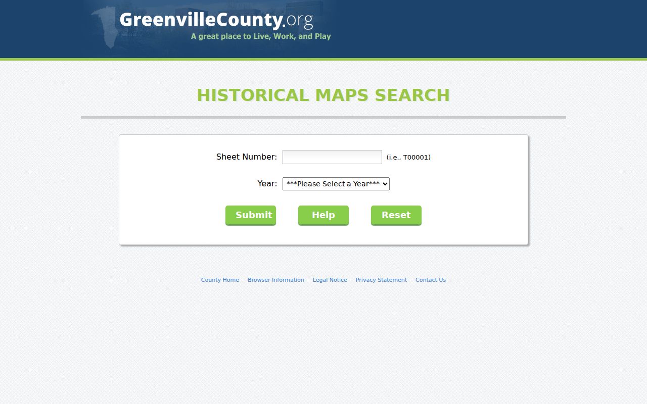
Compare the selected historic sheet with the legal parcel references before drawing a conclusion from a familiar street name.
Taylors Previous Residents in Maps and Paper Records
Historic Taylors maps, aerial context, permits, and code papers can add timing to a parcel trail. The County Historical Maps Search is organized by sheet number and year. For later Taylors physical-change evidence, Building Safety moved permits to eTrakit, but the research did not establish a no-login name or address search. Existing certificates of occupancy, permits, inspections, and code-violation papers can instead be requested through the address-specific Code Compliance FOIA form.
The form goes to codesfoia@greenvillecounty.org or Building Safety at 301 University Ridge, Suite S-3100, Greenville, SC 29601. It asks for a Taylors property address and charges actual search and copy costs. These papers can date a Taylors alteration or inspection. They do not establish who lived at the address. That limitation keeps a previous-residents trail tied to the kind of evidence each record can actually provide.
The ROD historical resources page links county deed-book indexes, land-grant material, archives, and library routes.
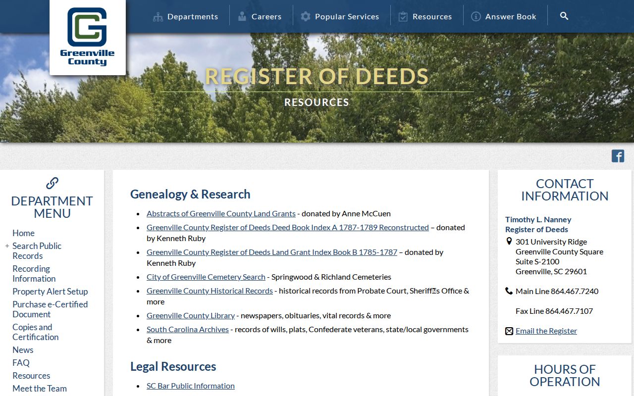
Those linked resources are useful when an older legal reference leads beyond the ordinary online search screens.
Taylors Previous Residents in Household Sources
Taylors past owners are only one part of the address story. Regional directories, reverse-reference directories, census schedules, newspapers, obituaries, and probate records can add Taylors household clues at a particular date. The GCLS South Carolina Room holds the historical directory route, while its obituary index covers The Greenville News from 1901 to the present. The library also lists remote searches for Greenville News obituaries, South Carolina deaths from 1915–73, Greenville marriage licenses from 1911–95, deeds from 1787–1975, and probate papers from 1787–1976.
Align the Taylors directory year with the closest released census, then compare its address and names against the Taylors deed trail. A disappearance may mean a move, death, changed spelling, or a gap in the published run. For a detailed explanation of the regional volumes and their limits, use the Taylors city directory collections rather than assuming an address-order listing proves ownership.
Note: A directory or census can supply a dated household clue, while the deed chain identifies transfer parties and the parcel behind the address.